Cordillera Azul REDD+
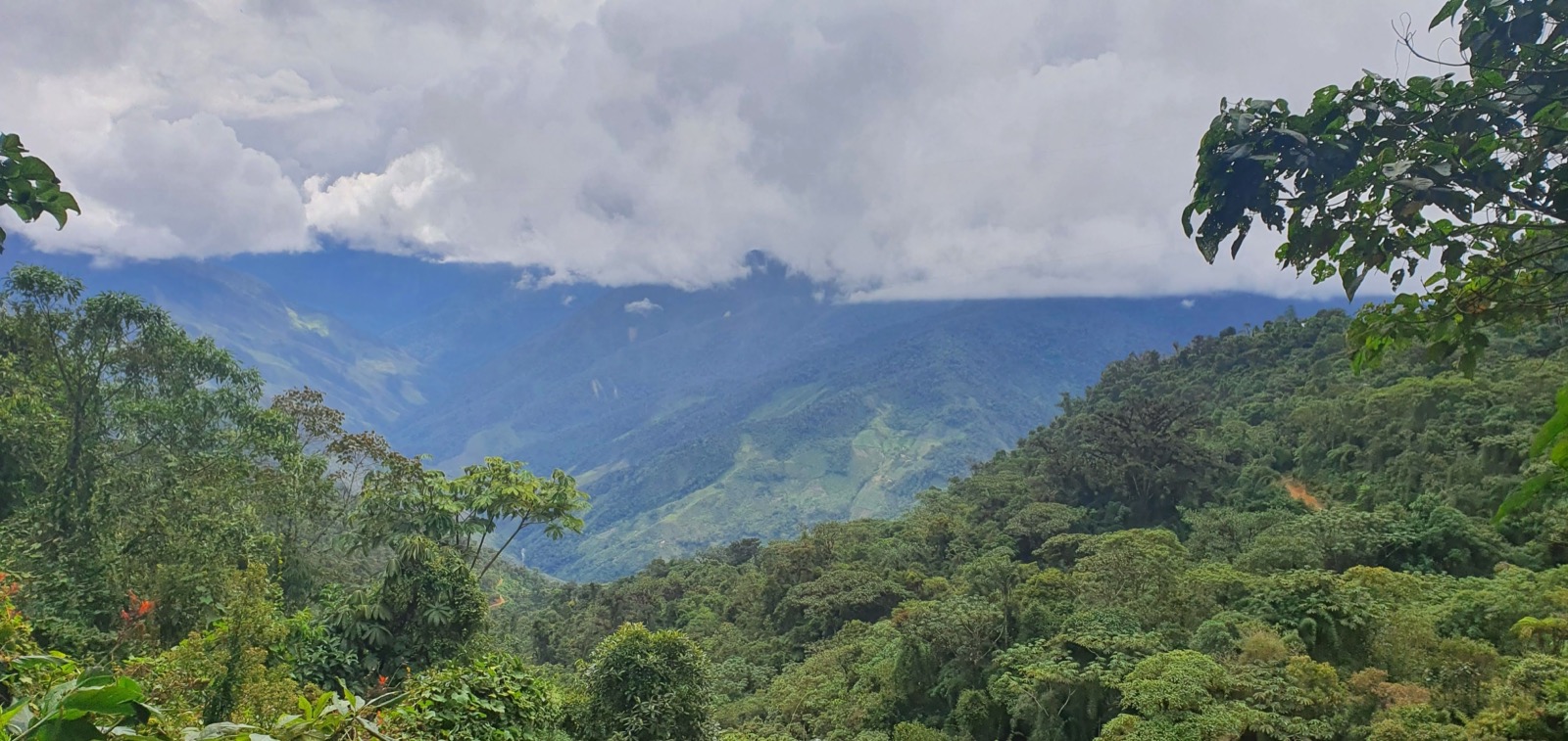
Across more than 1.3 million hectares of Peru's upper Amazon, the Cordillera Azul REDD+ project pairs CIMA with the national park service to keep one of the country's largest intact forests standing. Since 2008 it has channelled carbon revenue into park protection and surrounding communities. It is also one of the most scrutinised forest-carbon projects in the world, with press and researchers contesting how much deforestation it truly prevents.
Image credit
Inside the project
Cordillera Azul National Park was established in 2001 and protects the largest block of intact high forest in Peru, an Andes-to-Amazon transition zone of extraordinary biodiversity. In 2008 CIMA signed a management contract with SERNANP authorising the use of carbon-credit revenue to fund park operations, launching the REDD+ project.
The project is designed to reduce emissions by avoiding deforestation across the 1.3 million-hectare park, generating on the order of 1.5 million verified emission reductions per year, with first credits issued in 2015. Beyond carbon it targets watershed protection, flood and erosion control and biodiversity conservation.
Verra's registry lists the project as VCS 985, registered, with CIMA as proponent; as viewed in September 2026 it shows 36,612,042 units issued and 15,808,908 retired.
Since 2023 the project has been at the centre of a wider debate over forest carbon. Investigative journalism (The Guardian, Die Zeit, SourceMaterial) and academic analyses argue the deforestation baseline was inflated and additionality weak, given the park's prior 2001 legal protection. Indigenous Kichwa communities have separately contested credit sales from lands they claim as ancestral. CIMA, SERNANP and Verra dispute these conclusions; litigation and methodology debate are ongoing. These are reported allegations, not settled findings.
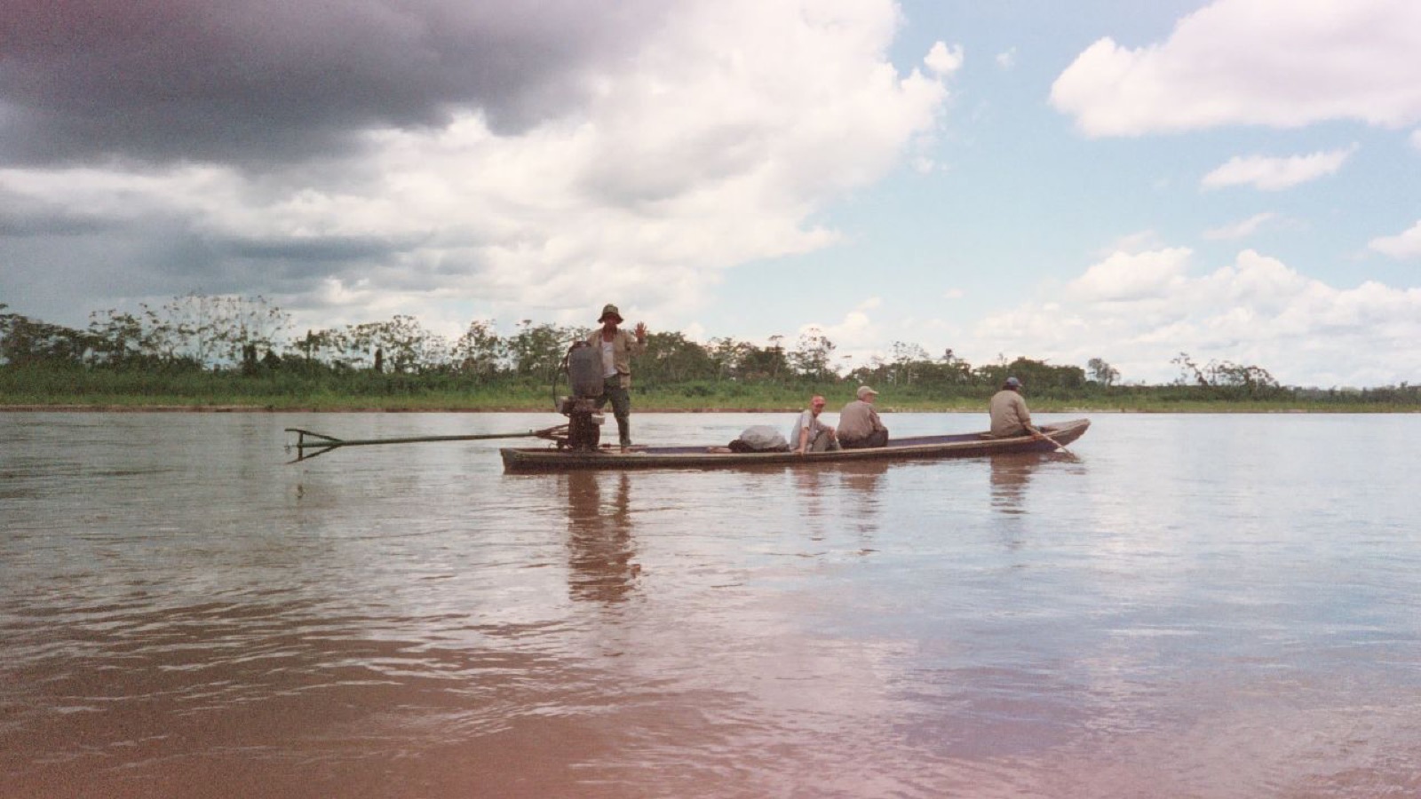
Image credit
Objectives
- Avoid deforestation and reduce emissions across the national park
- Finance long-term park management and ranger operations through carbon revenue
- Conserve globally significant biodiversity at CCB Gold level
- Protect watersheds and support buffer-zone community livelihoods
Approach
- Uses a VCS methodology for avoided unplanned deforestation, with satellite deforestation monitoring against a regional reference baseline and periodic third-party verification (validated and verified by SCS Global Services from 2013), plus CCB Gold biodiversity monitoring.
- The baseline construction is precisely what external researchers dispute, alleging the avoided-deforestation reference was overstated. The project proponents and Verra reject this characterisation. Indigenous-rights challenges over credit sales remain in litigation as of 2024-25.
Published documents
Academic study: Action needed to make carbon offsets from tropical forest conservation work for climate change mitigation →Independent evaluation: REDD+ projects falling far short of claimed carbon cuts, study finds →Independent evaluation: Cordillera Azul National Park REDD Project, Verra registry page (VCS 985) →
Sources
Inspect 4 sources
- verra.org ↗https://verra.org/projects_public_comm/cordillera-azul-national-park-redd-project/
- rainforestfoundationuk.org ↗https://www.rainforestfoundationuk.org/wp-content/uploads/2023/07/Case-Study_The-Cordillera-Azul-National-Park-Verra-Verified-Redd-Project-Peru.pdf
- en.wikipedia.org ↗https://en.wikipedia.org/wiki/Cordillera_Azul_National_Park
- registry.verra.org ↗https://registry.verra.org/app/projectDetail/VCS/985
Explore related climate work
Find other projects and tools for monitoring, restoration and climate adaptation.
Browse projectsBrowse tools