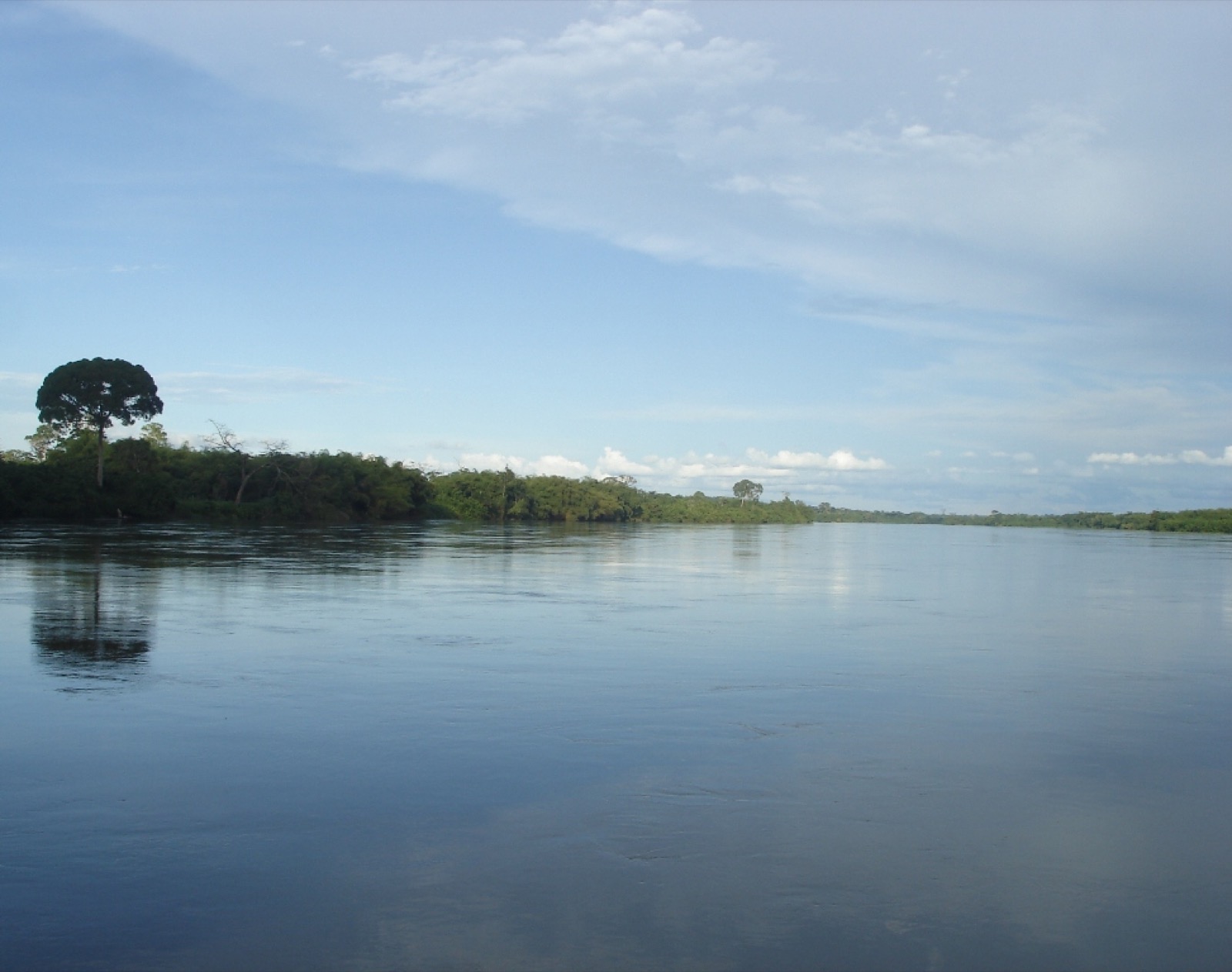
Congo Basin Peatlands (Cuvette Centrale)
Hidden beneath the swamp forests of the central Congo Basin lies the Cuvette Centrale: 145,500 km2 of peat, mapped by University of Leeds and UCL researchers in 2017, holding some 30 billion tonnes of carbon, roughly three years of global fossil-fuel emissions, now pressured by oil licensing, logging and drainage.
Image credit
Inside the project
The Cuvette Centrale is the largest tropical peatland complex on Earth, covering about 145,500 km2 across the Republic of Congo and the Democratic Republic of the Congo, an area larger than England.
Its existence and scale were established by a 2017 Nature paper led by Greta Dargie and Simon Lewis (University of Leeds / University College London), building on fieldwork that began in 2012; the peat stores about 30.6 petagrams (~30 billion tonnes) of carbon below ground.
That single discovery raised the best estimate of global tropical peatland carbon by roughly 36%, and the Congo store is comparable to the entire above-ground carbon in the Congo Basin's forests.
Radiocarbon dating shows peat began accumulating around 10,600 years before present; the peatlands are largely intact but increasingly threatened by oil and gas exploration, logging, road-building and drainage for industrial agriculture.
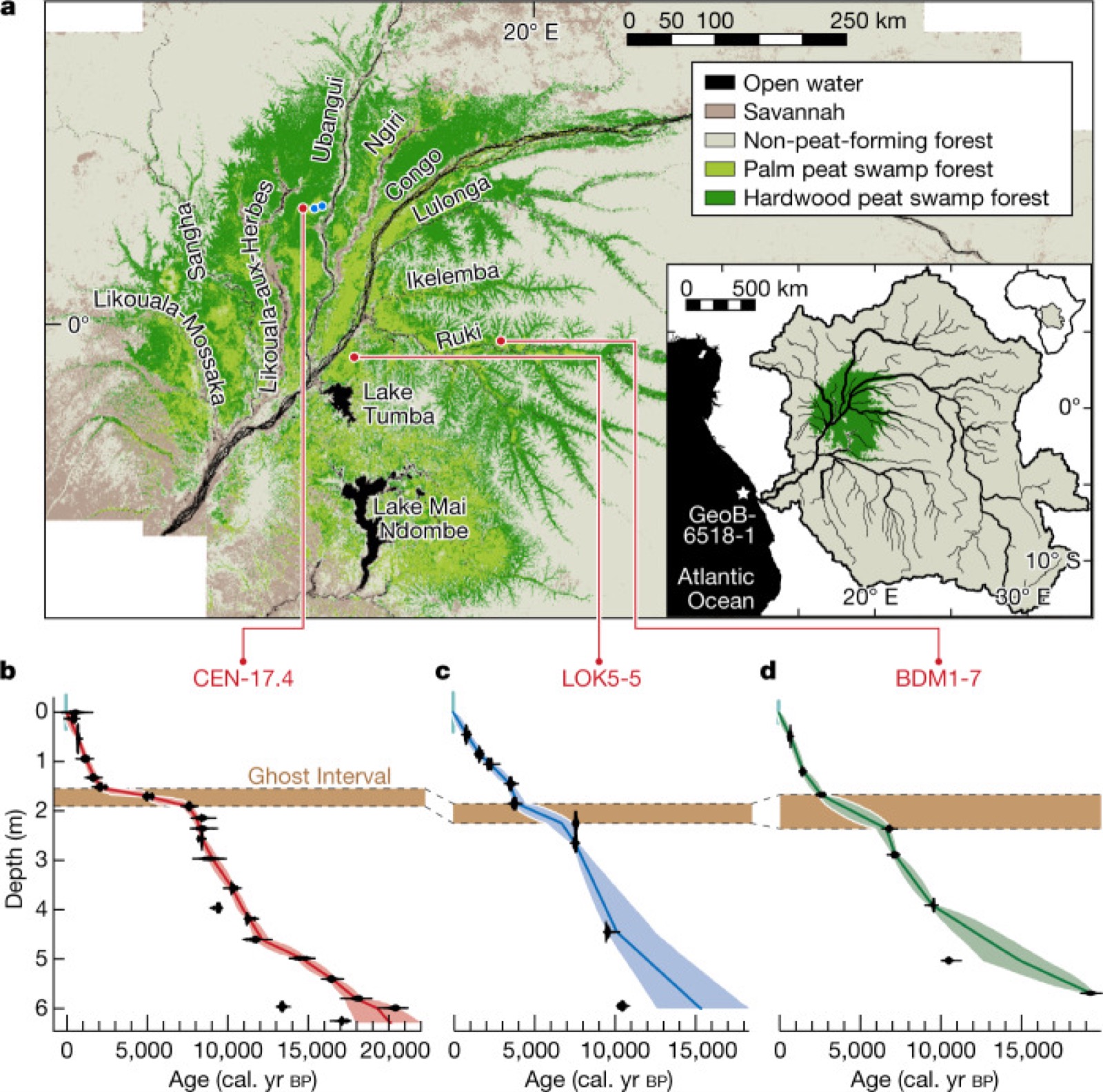
Image credit
Objectives
- Protect the intact Cuvette Centrale peatlands from drainage, degradation and unregulated land use, as committed under the 2018 Brazzaville Declaration.
- Map and monitor peat extent, depth, age and carbon density with field coring, remote sensing and aircraft-based laser altimetry.
- Build Congolese scientific and policy capacity so management decisions rest on local evidence and expertise.
- Reconcile conservation of a globally significant carbon store with the livelihoods of peatland-dependent communities.
Approach
- Field coring along transects to measure depth, age and carbon density, combined with satellite remote sensing to map peat extent across the basin's inaccessible swamp forests, and radiocarbon dating of cores to reconstruct Holocene accumulation history.
- CongoPeat, a five-year NERC-funded programme bringing together six UK universities and five Congolese organisations, anchors the long-term research, monitoring and capacity-building effort, including fixed-wing drones and laser altimeters to measure surface elevation to centimetre precision.
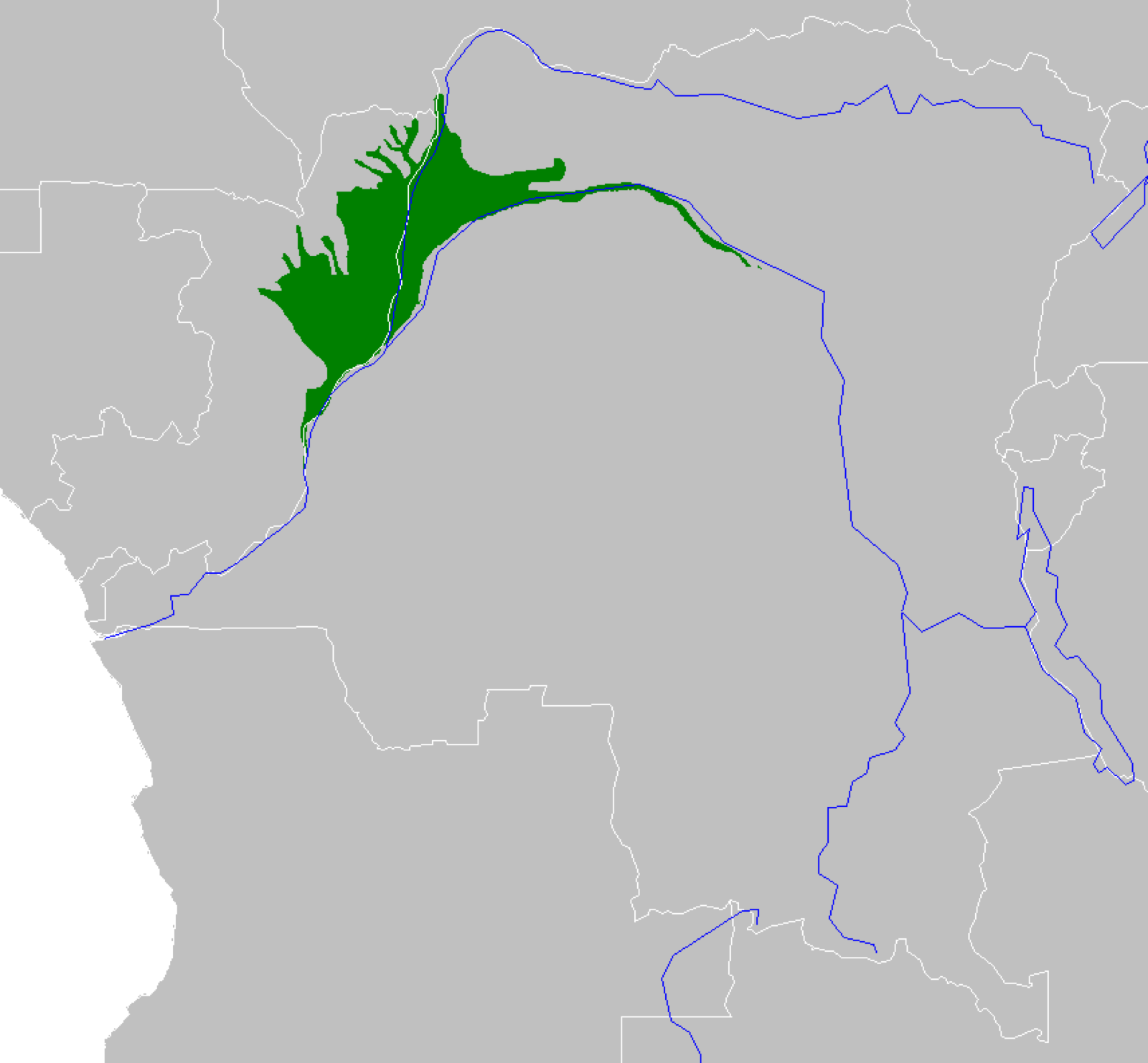
Image credit
Sources
Inspect 6 sources
- nature.com ↗https://www.nature.com/articles/nature21048
- climate.leeds.ac.uk ↗https://climate.leeds.ac.uk/news/scientists-discover-worlds-largest-tropical-peatland-in-remote-congo-swamps/
- unep.org ↗https://www.unep.org/news-and-stories/press-release/historic-agreement-signed-protect-worlds-largest-tropical-peatland
- congopeat.net ↗https://congopeat.net/about/
- theconversation.com ↗https://theconversation.com/congo-peat-swamps-store-three-years-of-global-carbon-emissions-imminent-oil-drilling-could-release-it-187101
- en.wikipedia.org ↗https://en.wikipedia.org/wiki/Cuvette_Centrale
Explore related climate work
Find other projects and tools for monitoring, restoration and climate adaptation.
Browse projectsBrowse tools