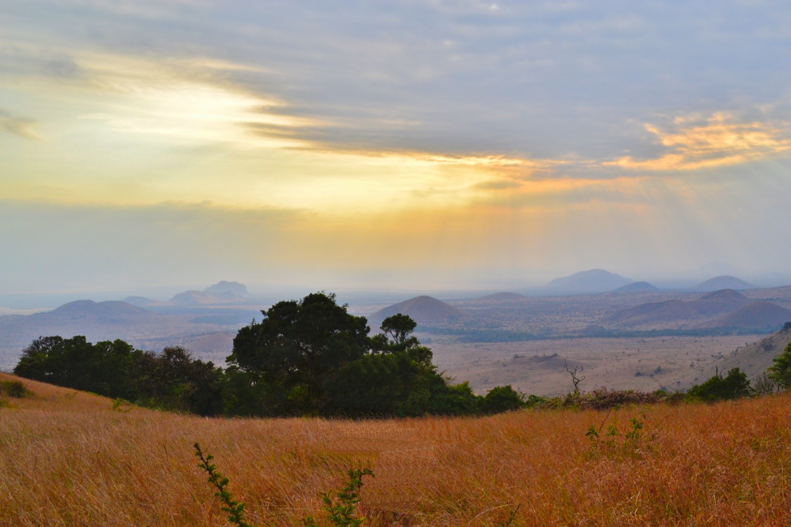
Chyulu Hills REDD+ Project
Across roughly 410,000 hectares of Maasai land linking Amboseli to Tsavo, a coalition of community trusts and Kenyan agencies keeps a tropical cloud forest and its wildlife corridor standing, funding rangers and livelihoods with verified carbon credits.
Image credit
Inside the project
The Chyulu Hills REDD+ Project (Verra VCS #1408) protects about 410,533 hectares of threatened forest, cloud forest and savanna in the Tsavo-Amboseli ecosystem of southern Kenya, spanning Makueni, Taita-Taveta and Kajiado counties.
It is led by the Chyulu Hills Conservation Trust, a collaboration of nine groups: Kenya's Forest and Wildlife Services, three local trusts (Maasai Wilderness Conservation Trust, Big Life Foundation, David Sheldrick Wildlife Trust) and four community group ranches, advised by Conservation International, African Wildlife Foundation and Wildlife Works.
The project keeps standing a tropical montane cloud forest whose ridgetops feed springs such as Mzima (about 90 million litres a day) and maintains a critical wildlife corridor between the greater Tsavo and Amboseli ecosystems, home to elephants, lions, cheetahs, wild dogs and critically endangered Eastern black rhino.
As viewed in September 2026, Verra's registry lists VCS 1408 as registered with the Chyulu Hills Conservation Trust as proponent, showing 5,172,697 units issued and 4,820,742 retired.
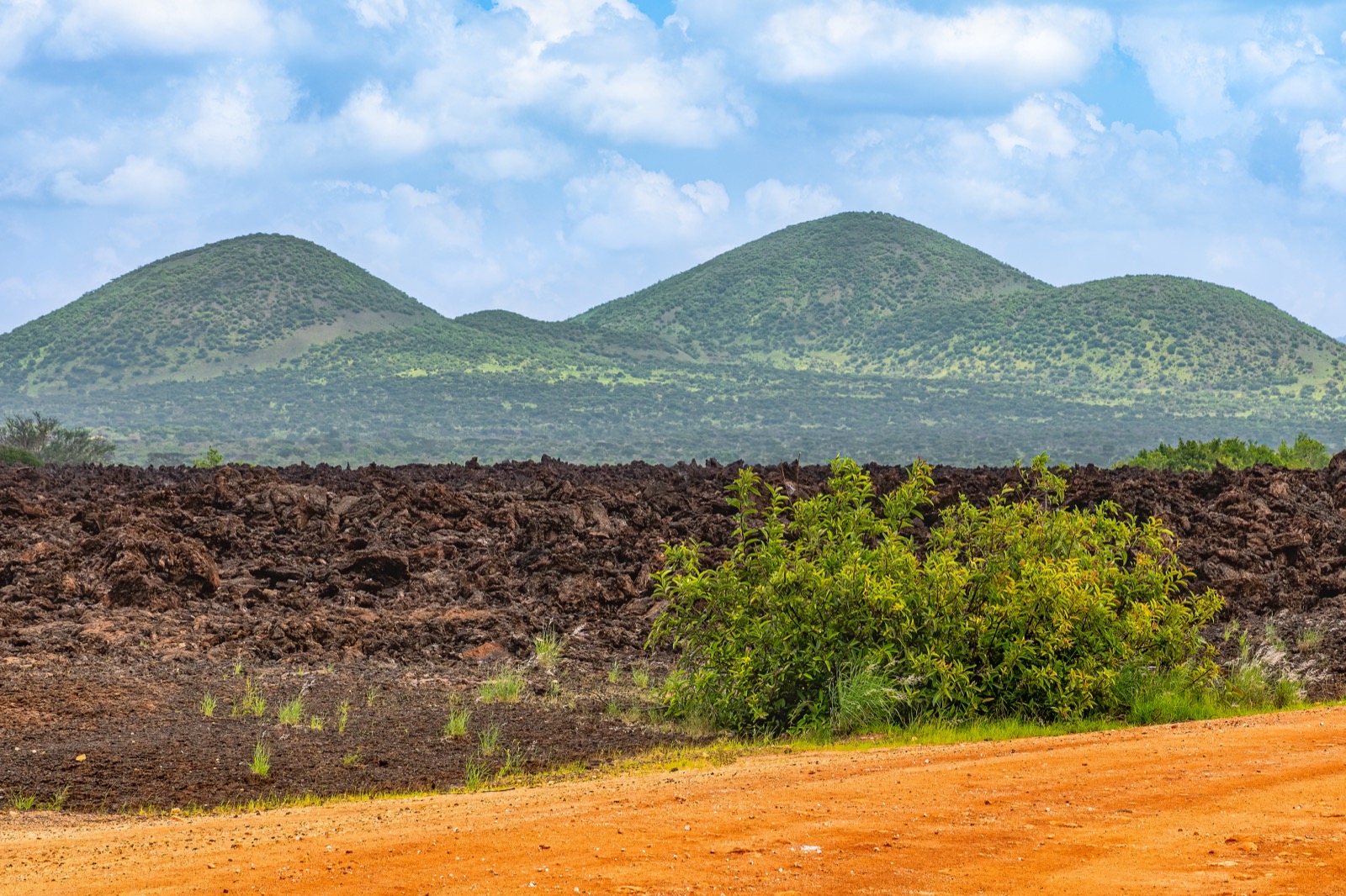
Image credit
Objectives
- Halt deforestation, forest degradation and grassland conversion across the Chyulu landscape.
- Maintain the cloud-forest water tower and the wildlife corridor linking Amboseli and Tsavo.
- Channel carbon revenue to Maasai communities through rangers, livelihoods and a democratic partner-grants process.
Approach
- Community wildlife-ranger patrols staffed by Maasai Wilderness Conservation Trust and Big Life Foundation, plus predator-compensation and human-wildlife coexistence programs to reduce retaliatory killing.
- Grassland and forest restoration, women-led seed banking and beekeeping (around 930 hives, 73 kits distributed) for alternative income, with carbon revenue distributed via a democratic internal grants process open to all nine partner organisations.
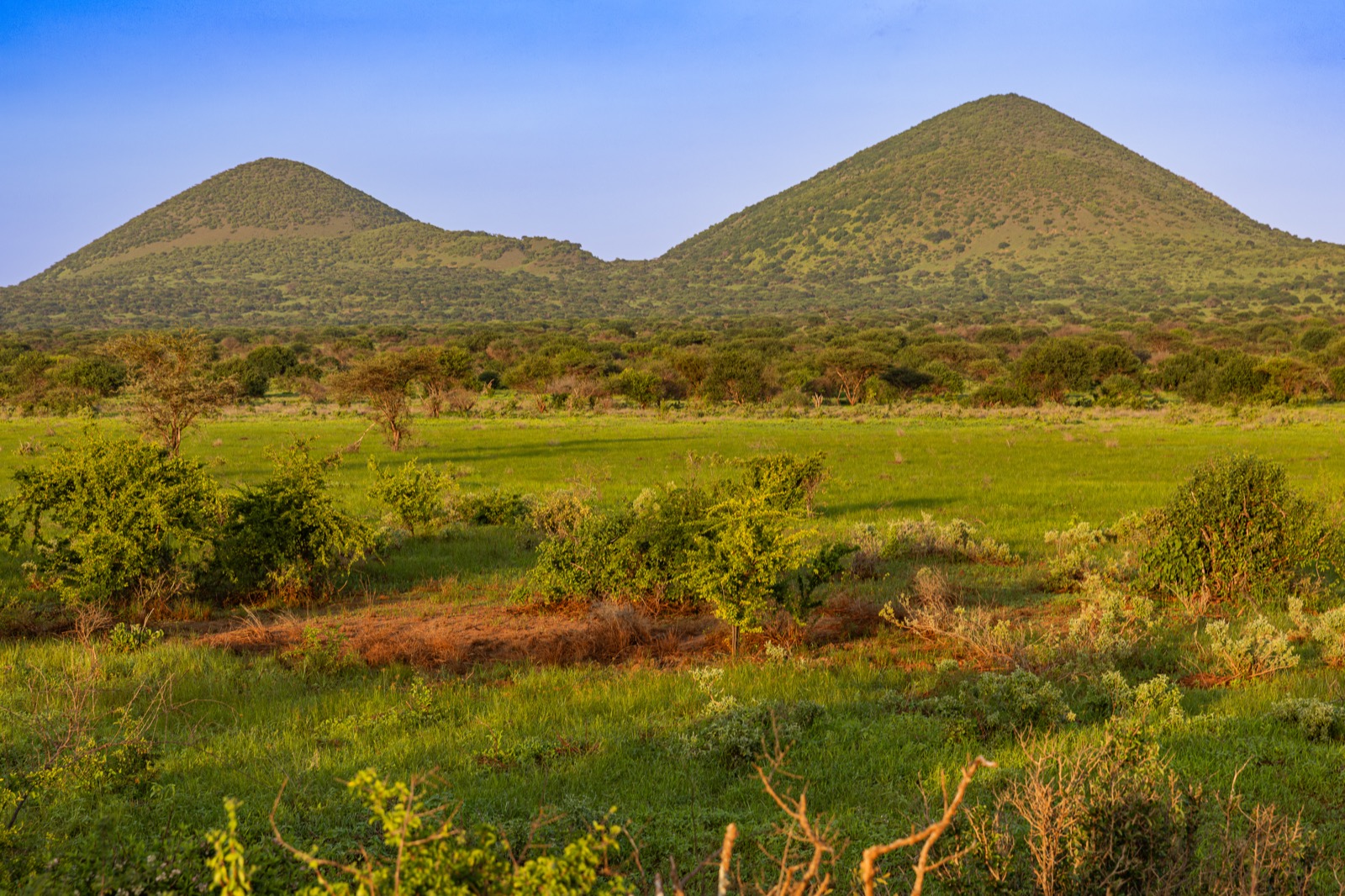
Image credit
Sources
Inspect 7 sources
- verra.org ↗https://verra.org/project-story-collaboration-and-restoration-in-maasai-territory/
- maasaiwilderness.org ↗https://maasaiwilderness.org/programs/carbonproject/
- biglife.org ↗https://biglife.org/what-we-do/habitat/redd-carbon-project
- conservation.org ↗https://www.conservation.org/projects/chyulu-hills-carbon-project
- reddprojectsdatabase.org ↗https://www.reddprojectsdatabase.org/395-chyulu-hills-redd-project/
- en.wikipedia.org ↗https://en.wikipedia.org/wiki/Chyulu_Hills
- registry.verra.org ↗https://registry.verra.org/app/projectDetail/VCS/1408
Explore related climate work
Find other projects and tools for monitoring, restoration and climate adaptation.
Browse projectsBrowse tools