Mangrove & blue carbonActive
Bhitarkanika Mangrove Restoration
Restoration planning for the Bhitarkanika mangroves in Odisha, documented by India's National Centre for Sustainable Coastal Management (NCSCM), proposes the fishbone method of canal construction. NCSCM measures the current mangrove area in Bhitarkanika at 47.6 km², against 46.5 km² mapped in 2010.
Image credit
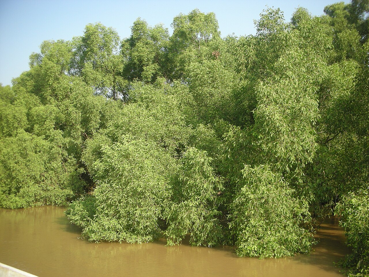
Mangrove at Bhitarkanika national Park. Location context only; not a photograph of project implementation.Location context · O'Hans · CC BY-SA 4.0 · 2015 · Resized; display cropImage source ↗Licence ↗
OperatorOdisha Forest, Environment and Climate Change Department, with CAMPA
EcosystemDeltaic mangrove
StandardNone
StatusActive
LocationBhitarkanika National Park, Kendrapara district, Odisha, India
Overview
Inside the project
The Odisha Forest, Environment and Climate Change Department carries out the work with CAMPA.
Press coverage in 2026 describes mangrove gains across Kendrapara district and Odisha on a much wider scale than NCSCM's Bhitarkanika measurements; the figures shown here are NCSCM's.
47.6 km²
Mangrove area, current (NCSCM)
46.5 km²
Mangrove area mapped in 2010 (NCSCM)
Approach
- Canals built in a fishbone pattern, the method NCSCM proposes for mangrove restoration in Bhitarkanika.
Sources
Inspect 2 sources
- ncscm.res.in ↗https://ncscm.res.in/conservation-and-restoration-of-ecosystems/
- odisha.plus ↗https://odisha.plus/2026/04/odisha-mangrove-conservation-bhitarkanika-restoration-model/
Explore related climate work
Find other projects and tools for monitoring, restoration and climate adaptation.
Browse projectsBrowse tools