Seychelles Blue Carbon
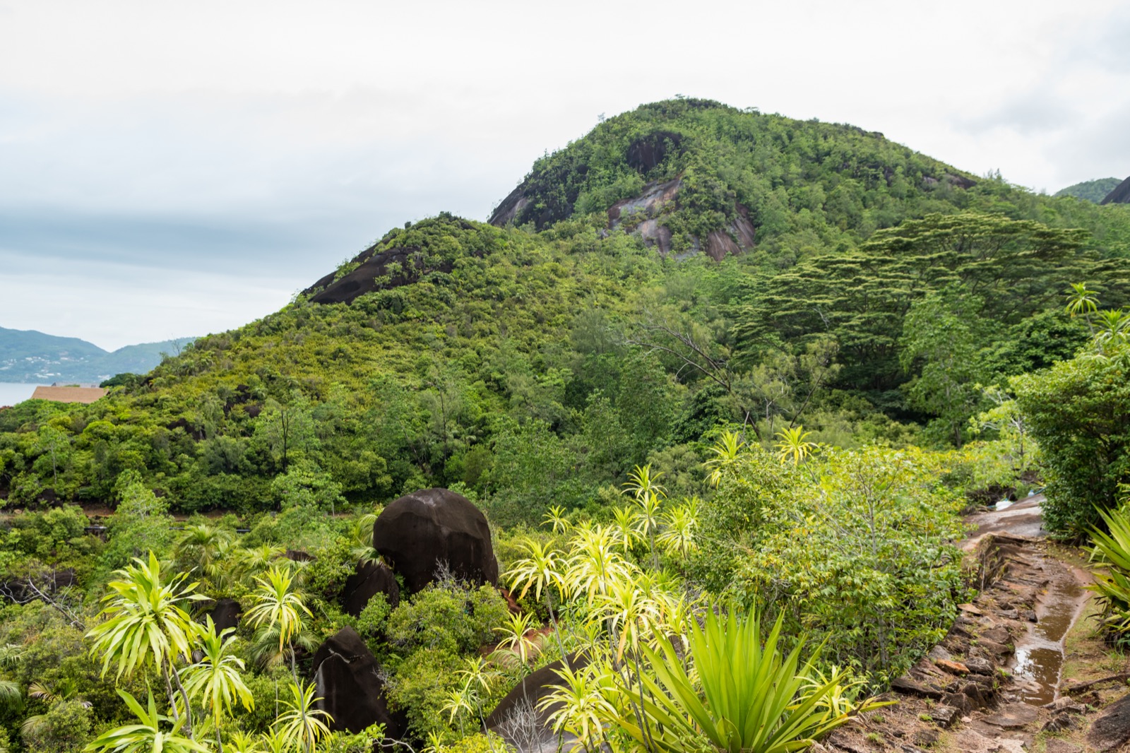
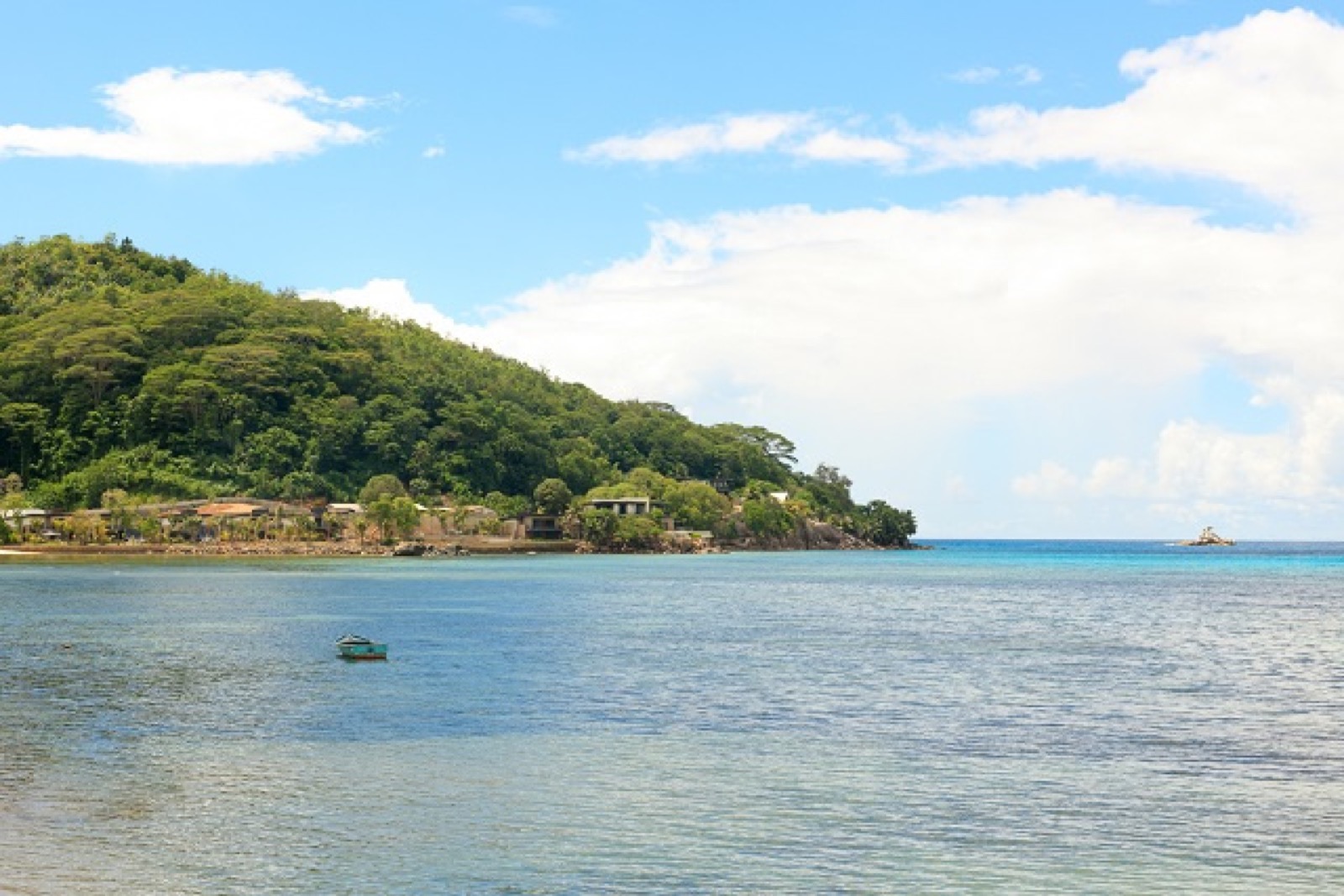
Seychelles was the first nation to commit, in its updated NDC, to protect and account for its blue-carbon ecosystems, pledging to safeguard 50% of seagrass and mangroves by 2025 and 100% by 2030. The science runs through the Seychelles Seagrass Mapping and Carbon Assessment Project, which produced the country's first field-validated seagrass map and carbon-stock estimates. The work was enabled by the pioneering 2018 debt-for-nature swap that restructured around US$21.6M of sovereign debt.
Inside the project
The 2018 Seychelles debt conversion, brokered with The Nature Conservancy's NatureVest, restructured roughly US$21.6M of sovereign debt and created SeyCCAT, the national trust that now hosts blue-carbon work.
Marine protection expanded from 0.04% to 32.8% of the vast EEZ, around 440,000 km², with a Marine Spatial Plan signed into law on 27 June 2025 as the final debt-conversion milestone.
A March 2025 report delivered the first field-validated national seagrass map and carbon-stock estimates, feeding into the National Greenhouse Gas Inventory.
Objectives
- Map seagrass distribution and extent nationally
- Quantify carbon stored in below-ground sediments
- Assess carbon accumulation rates
- Build scientific capacity and feed data into the GHG inventory
Approach
- The first field-validated national seagrass map combines satellite remote sensing (PlanetScope NICFI) with in-situ field validation.
- Carbon assessment uses sediment cores to measure below-ground organic carbon stocks and accumulation rates, with outputs feeding the National Greenhouse Gas Inventory.
Run a project like this on Straatos.
See how a project like Seychelles Blue Carbon runs on Straatos, from field data and satellite analytics through registry submission to the issued credit.